Geography
Location records can keep coordinates and map shapes. This supports map views and location-based search.
The Geocode step in an Agate flow can turn place names into geography. Editors can review the result on the processed item map.
Geometry types
Stylebook can represent several kinds of geography:
- a point for a venue, address, or other specific position;
- a line for a road or similar feature;
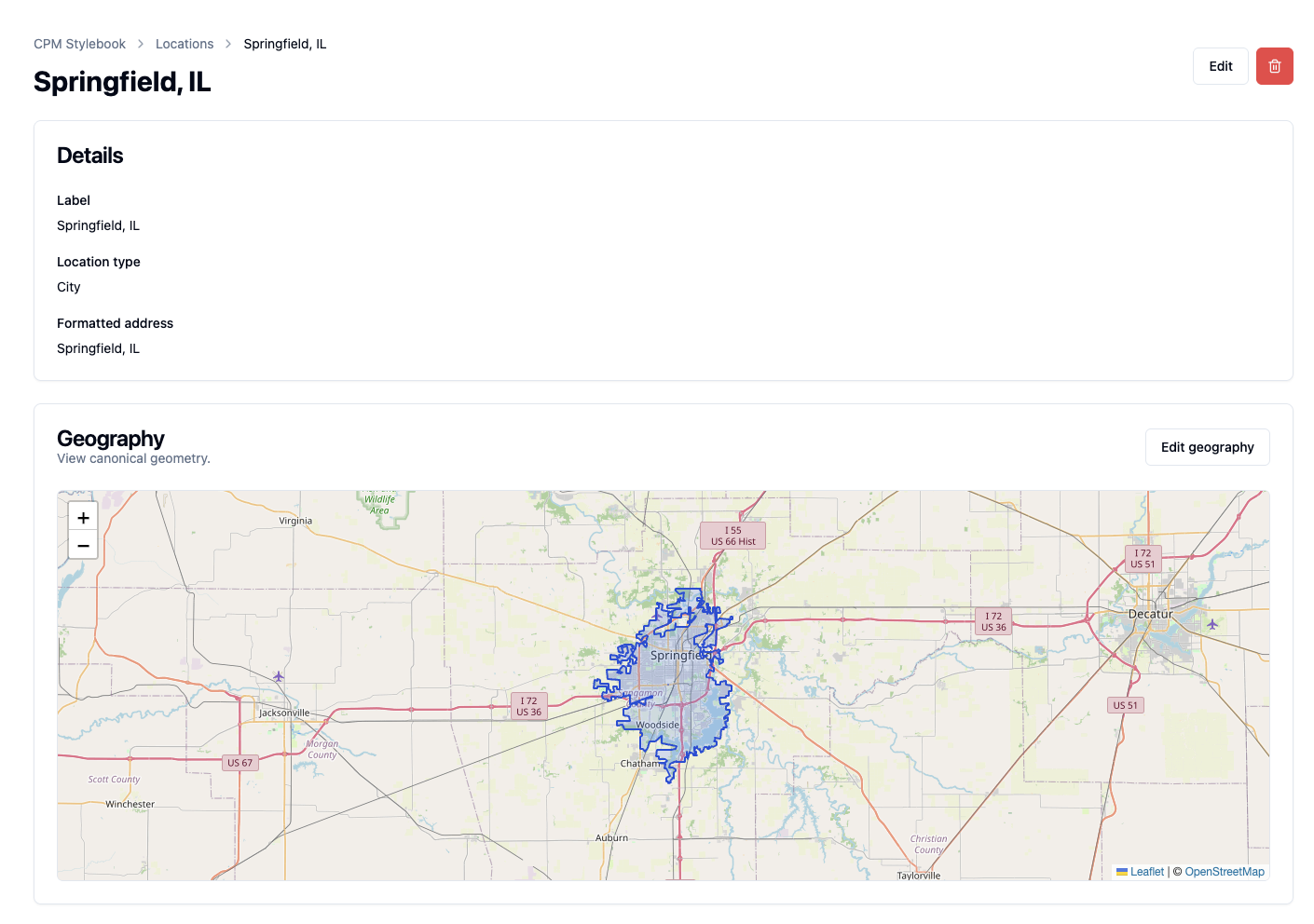
- an area for a neighborhood, district, city, park, or other boundary.
The right shape depends on the place. A city-center point may work for display, but it cannot answer whether another point falls inside the city boundary.
Article geography and canonical geography
Geocoding first produces a result for the location found in one article. It can help match a canonical record, but it does not automatically replace that record's maintained geography.
Editors can review article evidence and adopt useful geography for the canonical record when appropriate. This prevents one questionable run from silently changing a shared map record.
After correcting a canonical location's geography, editors can apply that shape onto selected linked article places. Applied geography updates how those places participate in geographic article search while leaving the canonical record as the maintained source of truth.
No geography is a valid result
Some places can be identified even when no reliable map result is available. Backfield can keep the name, type, jurisdiction, evidence, and canonical link while showing No geography.
This commonly happens when:
- a place name is ambiguous;
- an address is incomplete;
- a geocoder returns the wrong jurisdiction or kind of place;
- no suitable boundary is available.
Editors should prefer no geometry over a confident-looking but incorrect point.
Use editorial judgment for disputed boundaries and sensitive locations. A technically available boundary or precise point may not be the most accurate or responsible representation for publication.
Review and cleanup
The processed item's Places tab is where an editor fixes geography for one article. The Stylebook location page is where an editor maintains the shared canonical geometry. Stylebook Review can flag geography-quality concerns and possible duplicate locations for broader catalog cleanup.
Canonical geography supports map display and geographic API search. A change affects every project using that Stylebook and requires Stylebook editing access.